
Introduction to Cartesian Coordinate System
Loading the math board and drawing, please wait…
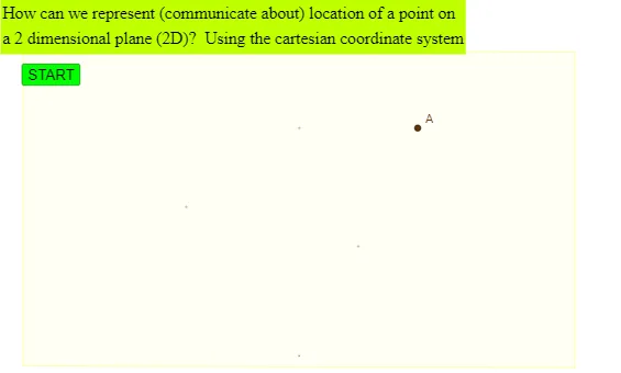
This example demonstrates the basic concepts and drawing methods of the Cartesian coordinate system. The core mathematical concepts involved include coordinate points, vectors, and polygons. Construction highlights: it uses commands and objects like Segment, Midpoint, Vector, Textfield, and Polygon in GeoGebra to build the coordinate system, draw shapes, and add text explanations. Suitable for middle school students and above to learn and understand the basics of analytical geometry.
GeoGebra Commands & Parameters
Segment(B_o, ((sgnAx * s_x), 0)) → l_{Ax}Midpoint(l_{Ax}) → M_{Ax}Segment(B_o, (x(B_o), (sgnAy * s_y))) → l_{Ay}Midpoint(l_{Ay}) → M_{Ay}Vector(A, (x(A), y(A) - (sgnAy * i_y))) → uVector(A, (x(A) - (sgnAx * i_x), y(A))) → vSegment(P_{xaxisleftstart}, P_{xaxisrightarrow}) → xaxislineSegment(P_{yaxisbottomstart}, P_{yaxistoparrow}) → yaxislineTextfield(count) → InputBoxDebuggerVector(A, A_x) → wVector(A, A_y) → aSegment((0, 0), A_x) → s_{ax}Polygon((-6.984552595476271, -4.030894809047458), (6.9691051909525426, -4.077237022618646), (6.9691051909525426, 3.922762977381354), (-6.984552595476271, 3.9691051909525417)) → q1, f, g, h, i
AI Drawing Prompt Reference
Draw a Cartesian coordinate system with x and y axes, showing the origin and unit vectors on the axes, and display a quadrilateral. Include text labels for coordinates and vectors. Start by drawing the axes, then mark the origin, draw the unit vectors, create a quadrilateral, and add text explanations.
The prompt above was compiled from the original drawing commands and is for reference only.