
Introduction to Polar Coordinates
Loading the math board and drawing, please wait…
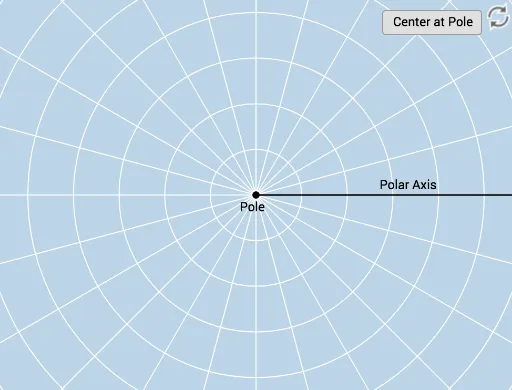
This example demonstrates how to plot points using polar coordinates through interactive methods. It provides an intuitive understanding of the polar coordinate system, covering core mathematical concepts such as the representation of angles and distances in polar form. Key GeoGebra commands and objects used include Ray, Circle, Textfield, Rotate, CircleArc, Angle, Intersect, Dilate, Vector, Line, and Mirror. Suitable for beginners learning the basics of polar coordinates, it serves as an introductory tool for coordinate geometry education.
GeoGebra Commands & Parameters
Ray(B, C) → fCircle(B, D) → cTextfield(r) → InputBox1Textfield(b) → InputBox2Rotate(D, b, B) → D'Rotate(D, If[0 < d ≤ 1, (d * b), b], B) → D'_1CircleArc(B, D'_1, D) → eCircle(B, D) → gRay(B, D') → hCircleArc(B, D, D'_1) → kAngle(D, B, D') → αAngle(D', B, D) → βCircle(B, abs(r)) → pIntersect(p, h) → A,Dilate(B, If[1 < d ≤ 2, 2 - d, 0], A) → B'Vector(B, B') → uLine(B, A) → iMirror(B, B) → B'_1Mirror(D', B) → D''Ray(B'_1, D'') → h'Mirror(u, B) → u'Intersect(p, i) → E, F