
Translation on Coordinate Grid
Loading the math board and drawing, please wait…
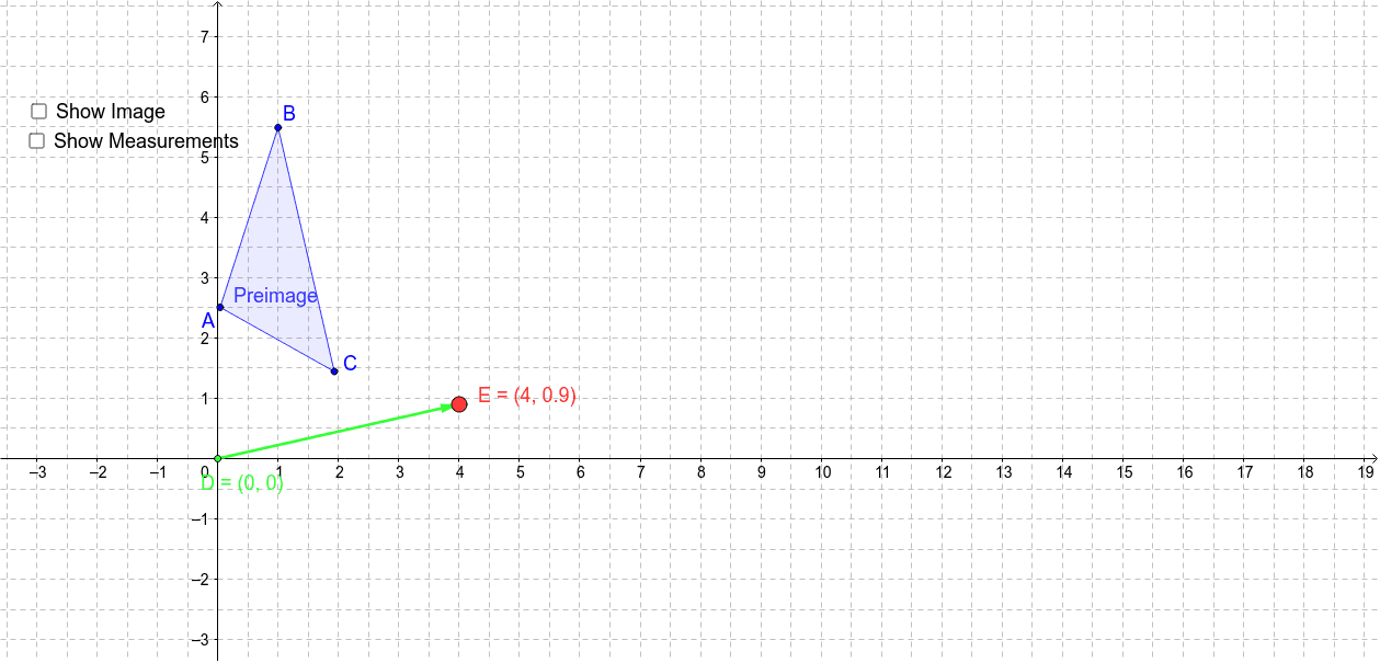
This example demonstrates the process and result of translating a polygon on a coordinate grid. It involves core math concepts like vectors, coordinate transformation, and distance calculation. Key GeoGebra commands/objects used include Polygon, Vector, Translate, Segment, and Distance. Suitable for middle school and above students learning geometric transformations, vectors, and coordinate geometry, or for classroom demonstrations.
GeoGebra Commands & Parameters
Polygon(A, B, C) → Preimage, c, a, bVector(D, E) → VectorDETranslate(A, VectorDE) → A'Translate(B, VectorDE) → B'Translate(C, VectorDE) → C'Polygon(A', B', C') → Image, c', a', b'Segment(A, A') → dSegment(B, B') → eSegment(C, C') → fDistance(A, A') → distanceAA'Distance(B, B') → distanceBB'Distance(C, C') → distanceCC'Distance(D, E) → distanceDE
AI Drawing Prompt Reference
Draw a polygon on a coordinate grid, then translate it using a vector to show the preimage and image. Connect corresponding vertices, indicate the translation vector, and calculate the distances between corresponding points and the length of the translation vector to demonstrate the process and properties of the translation.
The prompt above was compiled from the original drawing commands and is for reference only.