
Spherical Coordinates: Interactive 3D Visualization
Loading the math board and drawing, please wait…
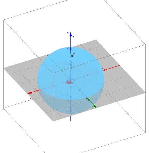
① This GeoGebra example dynamically illustrates a point P in 3D space using spherical coordinates, showing how radial distance ρ, polar angle φ, and azimuthal angle θ determine its position. ② Core mathematical concepts include the spherical coordinate system, conversion between Cartesian and spherical coordinates, and spatial geometry involving angles, distances, and projections. ③ Construction details: The Segment command creates coordinate axes and auxiliary segments, while Angle marks key angles; objects include variables ρ, φ, θ, point P and its projection P', auxiliary lines L, Lperp, Lpara, and equation eq1, all adjustable via sliders or input. ④ Suitable for upper high school or early university students learning multivariable calculus, 3D analytic geometry, or physics field theory, and for teachers demonstrating spatial coordinate systems in class.
GeoGebra Commands & Parameters
Segment((0, 0, 0), P) → LSegment((0, 0, 0), (0, 0, 1)) → ZAngle(Z, L) → αSegment((0, 0, 0), (1, 0, 0)) → XSegment(P, P') → LperpSegment((0, 0, 0), P') → LparaAngle(X, Lpara) → β
AI Drawing Prompt Reference
Draw a 3D point P determined by radial distance ρ, polar angle φ, and azimuthal angle θ. Show point P and its projection P' on the coordinate system, along with auxiliary lines from the origin. Include key objects like axes, angle markers, and adjustable parameters. Ensure the diagram clearly illustrates spatial geometric relationships.
The prompt above was compiled from the original drawing commands and is for reference only.