
Plotting Coordinates and Basic Geometric Construction
Loading the math board and drawing, please wait…
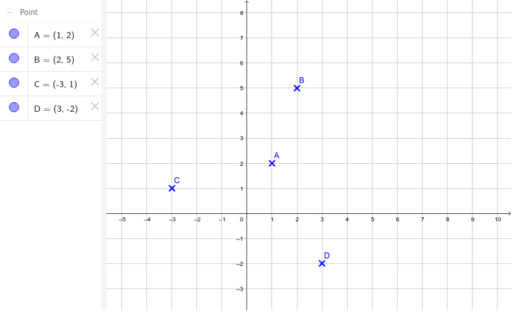
This example demonstrates how to plot points A, B, C, and D by entering their coordinates in GeoGebra, and then use these points for basic geometric constructions. The core mathematical concepts involve the Cartesian coordinate system, point positioning, and forming simple shapes (such as segments or polygons) from points. The construction uses GeoGebra's coordinate input to create four point objects, which can then be connected, measured, or transformed. It is suitable for middle school coordinate geometry lessons, helping students understand the relationship between coordinates and graphical positions. By dragging points or modifying coordinate values, learners can observe dynamic changes in the figure, fostering an intuitive grasp of geometric transformations.
GeoGebra Commands & Parameters
Point A(1, 2)Point B(2, 5)Point C(-3, 1)Point D(3, -2)
AI Drawing Prompt Reference
In a Cartesian coordinate plane, plot four points: the first at (1,2), the second at (2,5), the third at (-3,1), and the fourth at (3,-2). Mark each point clearly and connect them in order with straight line segments to form a quadrilateral. Show the x- and y-axes with grid lines, and label each point with its coordinates. The figure should illustrate how the points are positioned relative to the axes and quadrants.
The prompt above was compiled from the original drawing commands and is for reference only.