
Matrix-Based Scaling of Polygons: A GeoGebra Demonstration
Loading the math board and drawing, please wait…
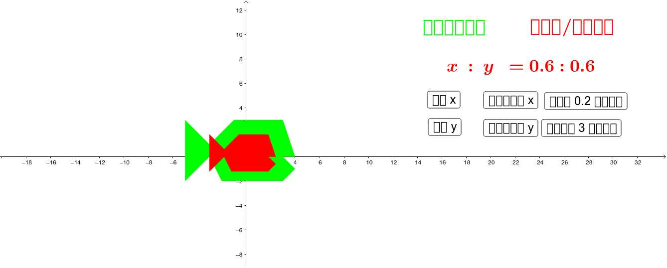
This GeoGebra example demonstrates how 2×2 matrices can be used to scale plane polygons dynamically, illustrating dilation and linear transformation effects on vertex coordinates. Core mathematical concepts include matrix multiplication, linear transformations, scaling/dilation, similar figures, coordinate geometry, and the geometric interpretation of matrices as operators on vectors. Construction highlights: the example employs the Polygon command to build polygonal objects from point pairs A1–B1 through A12–B12, together with auxiliary points A–L, a prototype object, scalar parameters a and b, and a list object list1. Matrix operations are applied to update the scaled image in real time, allowing users to observe how shapes stretch or shrink along coordinate axes. Suitable for high school linear algebra and analytic geometry courses, as well as university introductory courses seeking visual, interactive demonstrations of the geometric meaning of matrices.
GeoGebra Commands & Parameters
Polygon(A, B, K, L, C, D, E, F, G, H, I, J) → ต้นแบบ, a, j, k, l, b, c, d, e, f, g, h, iPolygon(M, N, W, Z, O, P, Q, R, S, T, U, V) → ขยาย, m, v, w, z_1, n, o, p, q, r, s, t, u