
Mapping Cartesian Coordinates to Polar Coordinates
Loading the math board and drawing, please wait…
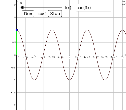
This example demonstrates how to convert points from Cartesian coordinates to polar coordinates. Key mathematical concepts include Cartesian and polar coordinate systems and their conversion. Using GeoGebra commands such as Vector, Textfield, and Ray, the example dynamically shows the coordinate transformation process. Suitable for high school mathematics education, particularly in teaching coordinate geometry and coordinate transformations.
GeoGebra Commands & Parameters
Vector((theta, 0), (theta, f(theta))) → cvecVector((0, 0), ((f(theta) * cos(theta)), (f(theta) * sin(theta)))) → pvecTextfield(f) → InpFRay((0, 0), (cos(theta), sin(theta))) → ptvecRay((theta, 0), (theta, 1)) → ccursor