
Cartesian Coordinates Concept Demo
Loading the math board and drawing, please wait…
In collections
Mathematics Form 2
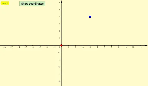
This example demonstrates the concept of Cartesian coordinates through interactive methods, showing the relationship between points, lines, and segments in a coordinate system. It involves core mathematical concepts such as coordinate geometry, rational numbers, difference and slope, and geometric transformations. The construction uses GeoGebra commands and objects like Line, Intersect, If, Segment, and SelectedIndex. Suitable for middle school and above students learning basic analytical geometry.
GeoGebra Commands & Parameters
Line(A, yAxis) → fLine(A, xAxis) → gIntersect(g, yAxis) → BIntersect(f, xAxis) → CIntersect(xAxis, yAxis) → DIf(a < 1, a, 1) → hIf(a > 1, a - 1, 0) → kSegment(B, A) → iSegment(A, C) → jSelectedIndex(Bahasa) → nnIf(nn ≟ 1, "x-coordinate = ", "koordinat-x = ") → Tex3If(nn ≟ 1, "y-coordinate = ", "koordinat-y = ") → Tex4Segment(D, E) → lSegment(D, F) → m