
Anchoring Units of Measurement Example
Loading the math board and drawing, please wait…
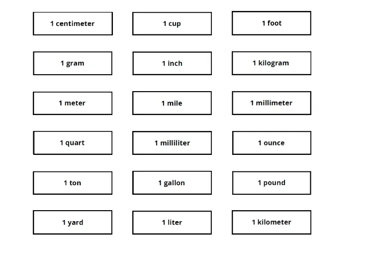
This example demonstrates how to anchor different units of measurement using GeoGebra, constructing geometric figures and showcasing their properties. It involves core math concepts like unit conversion, geometric constructions, coordinate geometry, and matrix operations. GeoGebra commands used include point objects (A, B, C...), picture objects (pic1...pic12), and matrices (pic13). Suitable for middle school and above, helping students understand the application of measurement units and geometric construction techniques.
GeoGebra Commands & Parameters
Point A(-13, 7)Point B(-8.9921437710994, 7)Point C(-8, 7)Point D(-4, 7)Point E(-3, 7)Point F(1, 7)Point G(-8, -1)Point H(-4, -1)Point I(-13, 5)Point J(-9, 5)Point K(-8, 5)Point L(-4, 5)Point M(-3, 5)Point N(1, 5)Point O(-3, -3)Point P(1, -3)Point Q(-8, -3)Point R(-4, -3)Point S(-13, 3)Point T(-9, 3)Point U(-8, 3)Point V(-4, 3)Point W(-8, 1)Point Z(-4, 1)Point A_1(-3, 3)Point B_1(1, 3)Point C_1(-3, 1)Point D_1(1, 1)Point E_1(-3, -1)Point F_1(1, -1)Point G_1(-13, 1)Point H_1(-9, 1)Point I_1(-13, -1)Point J_1(-9, -1)Point K_1(-13, -3)Point L_1(-9, -3)