
Interactive Coordinate Point Plotting Practice V2
Loading the math board and drawing, please wait…
In collections
Geometry CK12 CH01 Basics
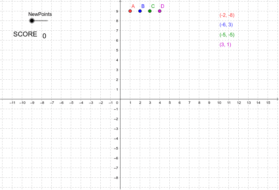
This GeoGebra example demonstrates interactive plotting and identification of points on a two-dimensional Cartesian coordinate plane. It reinforces the correspondence between ordered pairs and point locations through randomly generated points and immediate feedback. Core mathematical concepts include coordinate systems, ordered pairs, reading and plotting point coordinates, and basic plane geometry position relationships. Construction-wise, it uses GeoGebra commands such as Text for instructional labels, If for conditional correctness checking, NewPoints for generating new points, and objects including points A, W, X, B, Y, C, Z, D plus text labels text1 through text10, with a score variable to track performance. Suitable for middle school (grade 7 and up) analytic geometry introductions, upper elementary coordinate awareness, classroom demonstrations, and independent student practice.
GeoGebra Commands & Parameters
Text(score) → text9If(A ≟ W, 1, 0) → paIf(B ≟ X, 1, 0) → pbIf(C ≟ Y, 1, 0) → pcIf(D ≟ Z, 1, 0) → pd