
Demo of Dilation (Scaling Transformation)
Loading the math board and drawing, please wait…
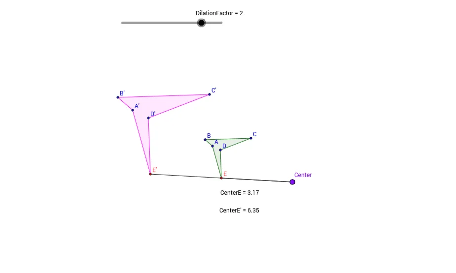
This GeoGebra example demonstrates a dilation (scaling) transformation on a polygon. It shows how a polygon is enlarged or reduced with respect to a fixed center and a scale factor, preserving its shape. The core mathematical concepts include similarity, dilation, and proportional distances. The construction uses the Polygon command to create the original polygon, the Dilate command to generate the dilated polygon with a specified center and factor, and measures distances between corresponding points to illustrate the scale relationship. It is suitable for middle or high school geometry lessons on transformations, similarity, and ratio, and allows interactive exploration of how changing the dilation factor affects the image.
GeoGebra Commands & Parameters
Polygon(A, B, C, D, E) → poly1, a, b, c, d, eDilate(A, DilationFactor, Center) → A'Dilate(B, DilationFactor, Center) → B'Dilate(C, DilationFactor, Center) → C'Dilate(D, DilationFactor, Center) → D'Dilate(E, DilationFactor, Center) → E'Polygon(A', B', C', D', E') → poly1', a', b', c', d', e'Segment(E, Center) → gSegment(Center, E') → hDistance(E, Center) → distanceEGMidpoint(E, Center) →Distance(E', Center) → distanceE'GMidpoint(E', Center) →Distance(Center, E) → distanceCenterEMidpoint(Center, E) →Distance(Center, E') → distanceCenterE'Midpoint(Center, E') →
AI Drawing Prompt Reference
Draw a pentagon ABCDE, then use a slider to scale it up or down with point G as the center, generating a new pentagon A'B'C'D'E'. Measure and display the distance from point E to point G, and from point E' to point G, to observe the scaling effect.
The prompt above was compiled from the original drawing commands and is for reference only.